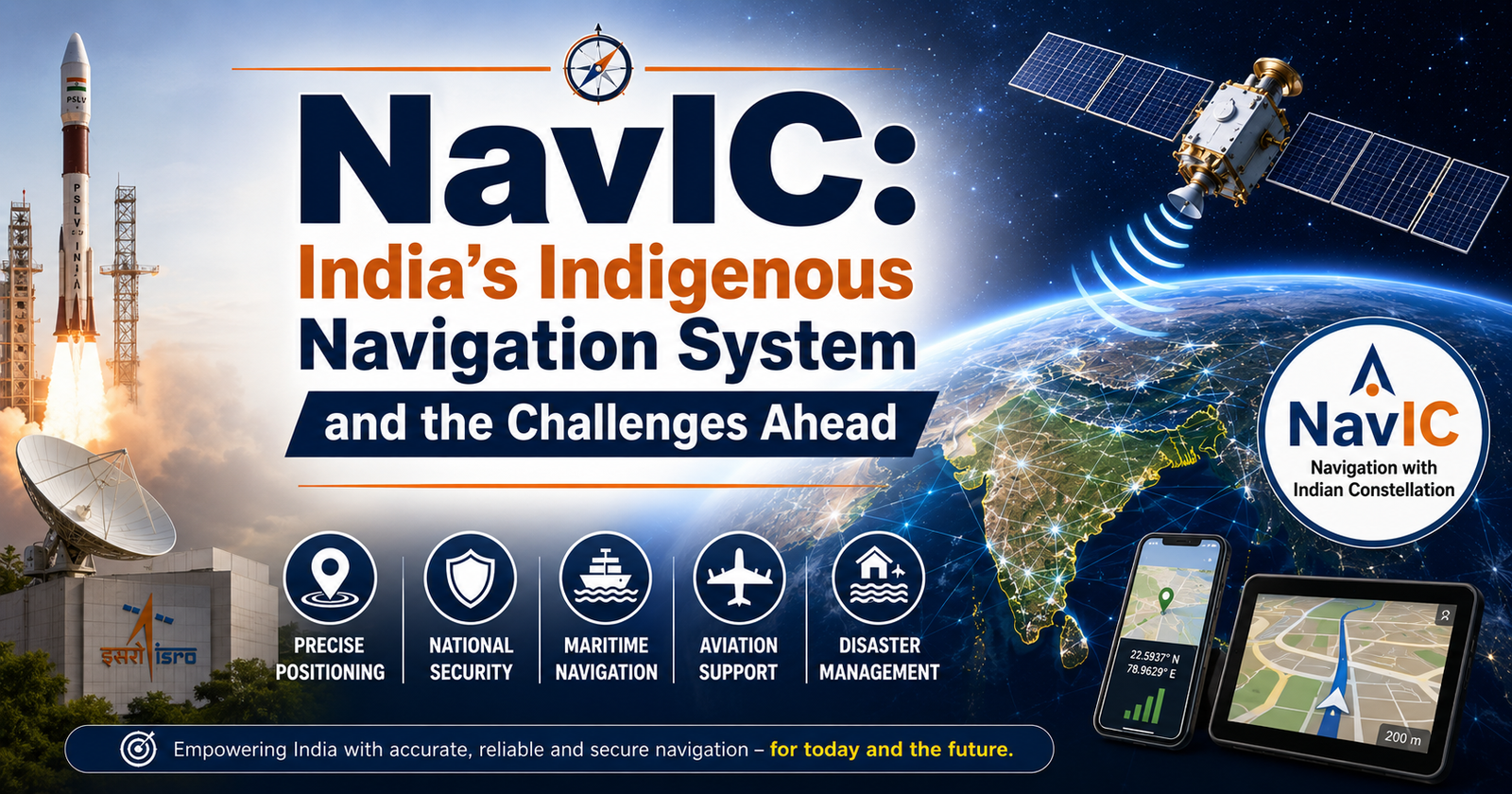
NavIC, India's indigenous satellite navigation system, strengthens national security, disaster management, and transportation while promoting technological self-reliance amid growing adoption and modernization efforts.
Syllabus Areas:GS III - Science and Technology |
India's Navigation with Indian Constellation (NavIC) system has once again come into focus amid discussions regarding its adoption, technological upgrades, and competition from established global navigation systems such as GPS. As India seeks greater technological self-reliance, NavIC remains a critical strategic asset for the country.
Navigation with Indian Constellation (NavIC), formerly known as the Indian Regional Navigation Satellite System (IRNSS), is India's indigenous satellite-based navigation system developed by the Indian Space Research Organisation (ISRO).
The system was conceived after India faced difficulties accessing foreign navigation data during strategic situations, highlighting the need for an independent navigation capability.
NavIC was officially launched to provide accurate positioning services across India and up to 1,500 km beyond its borders.
What is NavIC?
NavIC is a regional satellite navigation system designed to provide real-time positioning and timing services.
It consists of:
-
Seven operational satellites in space (with additional replacement satellites launched over time).
-
Ground stations for monitoring and control.
-
User receivers that receive navigation signals.
The system provides:
-
Standard Positioning Service (SPS) for civilian users.
-
Restricted Service (RS) for authorized users including the military.
Key Features of NavIC
1. High Accuracy
-
Provides location accuracy better than 20 meters across India and surrounding regions.
-
Offers reliable navigation services even in challenging environments.
2. Dual Frequency Operation
-
Uses both L5 and S-band frequencies.
-
Improves accuracy and reduces signal errors caused by atmospheric disturbances.
3. Regional Coverage
-
Covers the entire Indian territory.
-
Extends coverage up to approximately 1,500 km beyond India's borders.
4. Independent System
-
Eliminates dependence on foreign navigation systems during emergencies or conflicts.
Comparison with Other Global Navigation Systems
|
System |
Country/Region |
|
GPS |
United States |
|
GLONASS |
Russia |
|
Galileo |
European Union |
|
BeiDou |
China |
|
NavIC |
India |
Unlike GPS, Galileo, GLONASS, and BeiDou, which provide global coverage, NavIC is primarily a regional navigation system focused on India and its neighborhood.
Strategic Importance of NavIC
1. National Security
-
Ensures uninterrupted navigation support during military operations.
-
Reduces dependence on foreign systems that may be unavailable during conflicts.
2. Disaster Management
-
Supports rescue and relief operations during cyclones, floods, earthquakes, and other disasters.
-
Enables precise tracking of emergency response teams.
3. Transportation
-
Helps in vehicle tracking.
-
Supports railway safety systems.
-
Assists maritime and aviation navigation.
4. Fisheries Sector
-
Helps fishermen navigate safely in coastal waters.
-
Provides location-based alerts and weather information.
5. Digital India Initiatives
-
Supports location-based services.
-
Strengthens India's technological sovereignty.
Challenges Facing NavIC
1. Limited Smartphone Adoption
-
Most smartphones continue to prioritize GPS and other global navigation systems.
-
Limited NavIC-compatible chipsets have slowed widespread adoption.
2. Competition from GPS
-
GPS has a long-established ecosystem and global acceptance.
-
Many applications are already optimized for GPS.
3. Need for More Satellites
-
Maintaining uninterrupted services requires periodic satellite replacement.
-
Expansion of coverage may require additional satellites.
4. Commercial Ecosystem
-
Limited development of NavIC-based applications and devices.
-
Greater private sector participation is needed.
5. Public Awareness
-
Awareness among consumers and businesses remains relatively low.
Government Initiatives
The Government of India and ISRO are taking several steps to strengthen NavIC:
-
Launching second-generation NavIC satellites.
-
Encouraging smartphone manufacturers to integrate NavIC support.
-
Promoting NavIC use in transportation and logistics.
-
Integrating NavIC into strategic and civilian infrastructure.
Way Forward
-
Expand satellite constellation for improved coverage.
-
Increase integration of NavIC-compatible chipsets in smartphones.
-
Encourage startups to develop NavIC-based applications.
-
Promote indigenous navigation technologies under the Atmanirbhar Bharat initiative.
-
Strengthen international cooperation and interoperability with global navigation systems.
NavIC represents a significant milestone in India's journey toward technological self-reliance. While challenges related to adoption, infrastructure, and competition remain, continued investment and policy support can transform NavIC into a robust navigation ecosystem serving both strategic and civilian needs. As India advances in space technology and digital infrastructure, NavIC is expected to play a crucial role in enhancing national security, economic development, and technological sovereignty.
Prelims Questions:Q1. With reference to Navigation with Indian Constellation (NavIC), consider the following statements:
Which of the statements given above is/are correct? (a) 1 and 2 only Answer: (b) 1 and 3 only Explanation:
Q2. Consider the following satellite navigation systems:
Which of the above are global navigation satellite systems? (a) 1 and 2 only Answer: (d) 1, 2, 3 and 4 Explanation:
Q3. Which of the following is/are advantages of having an indigenous navigation system such as NavIC?
Select the correct answer using the code given below: (a) 1 only Answer: (d) 1, 2 and 3 Explanation: Q4. With reference to NavIC, consider the following statements:
Which of the statements given above is/are correct? (a) 1 and 3 only Answer: (a) 1 and 3 only Explanation:
Q5. Which of the following sectors can directly benefit from the applications of NavIC?
Select the correct answer using the code below: (a) 1 and 2 only Answer: (d) 1, 2, 3 and 4 Explanation: NavIC has applications in fisheries, disaster management, transportation, logistics, defense, aviation, maritime navigation, and location-based services. |